 Shortest day
Lift and crest
Ortisei to the top
- Walking
- About 1 hour
- Climb
- Almost none
- Best for
- Views, little time
Guides
Language
EnglishCurrency
US dollar · $GetYourGuide uses the currency you choose.
Guide · Seceda
Seceda is the grassy crest above Ortisei that drops into a wall of rock on its north side. How to get up, what the ridge walk really involves, and where to go once you are there.
Editorial team, hikingdolomitesitaly.comUpdated October 25, 20268 min read78 sources
Seceda at a glance
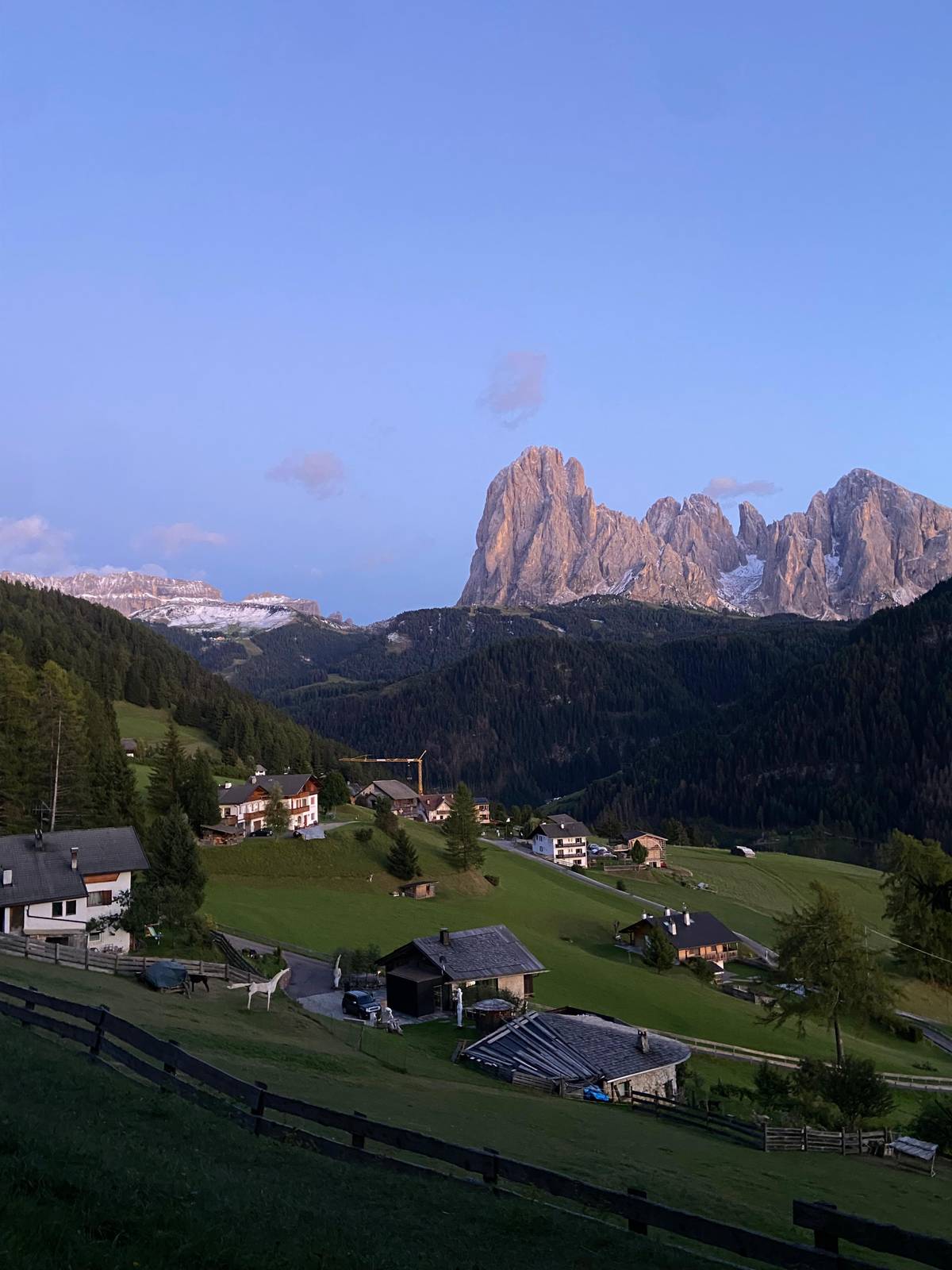
Seceda is a broad mountain on the sunny side of Val Gardena, inside the Puez-Odle Nature Park, and its highest point carries a summit cross at 2,519 m.71 From the south it looks almost gentle: long, tilted meadows that run down towards Ortisei and Santa Cristina. Walk to the top and the picture changes at once, because the north side falls away in a sheer edge towards the jagged Odle peaks. That contrast between soft grass and a cut-off cliff is the whole reason the place became famous.
The names explain a good part of it. Odles, the Ladin name of the Geisler group, means needles, which fits the row of sharp towers you look at from the crest.8 Seceda itself comes from the Latin siccus, dry, a nod to slopes that can look parched late in the season.9 In summer the southern meadows are anything but dry: they carry over a hundred species of alpine flowers.10
Those meadows are worked land, not a park lawn. Seceda is the highest alpine pasture in South Tyrol where traditional haymaking is still practised, and about 100 farmers and landowners keep small huts up here and cut the grass in summer.1112 That is why fences cross the slopes and why the local rules ask you to keep off the grass. Treat the ridge as a working mountain farm with a view, and the day goes better for everyone.
Your day
Before you go
Tickets run in fixed 30-minute slots.4
In Ortisei
About 6 minutes from Piazza S. Antonio via La Curta.13
Two cable cars
450 m of vertical, then 700 m more.14
First hour
Late morning
About 45 minutes to the hut below the stone teeth.16
Afternoon
Fermeda runs 20 June to 20 September.17
The quick way up is the lift chain from the middle of Ortisei. A gondola rises from the village to Furnes, then a larger cable car carries you to the top station just below the summit; the first section is 2,500 m long with a 450 m vertical, the second 2,050 m long with a 700 m vertical.14 In 2026 both run from 22 May to 2 November, from 8:30 am to 5:00 pm.2 Outside that window the summer timetable ends; in winter the lifts serve the ski slopes instead.
For summer 2026 an adult return from Ortisei to the top costs $83, and a single ride up or down $55.3 Juniors from 8 to 15.99 years pay $42 return, and children up to 7.99 years ride free when an adult ticket is bought at the same time.318 Dogs and bikes cost $8 each.19 Note that the Dolomiti SuperSummer card is not accepted on these lifts.20
Buy ahead if you can. The Seceda cable car runs on fixed 30-minute time slots that you book online, and the lift company itself asks visitors to buy before they come.421 If you stay several days, the Gardena Card covers the participating lifts in the valley from 6 June to 11 October 2026, at $139 for 3 consecutive days for an adult.2223 Do the sums for your own plan before you choose.
Every way up
| Start | Climb | Time on foot | Notes |
|---|---|---|---|
| Ortisei by lift | Almost none | Ridge about 1 hr | Timed online slots45 |
| Col Raiser top | About 500 m | 1 to 2 hrs | Gondola from Santa Cristina28 |
| Daunëi, Selva | 800 to 900 m | 2.5 to 3.5 hrs | Bus line 3572930 |
| Cristauta | 900 to 1,000 m | 3 to 4 hrs | Bus line 3583130 |
| Ortisei on foot | 1,200 m | 3.5 to 4.5 hrs | Demanding all the way32 |
| Resciesa traverse | Via 2,597 m pass | 6 to 7 hrs | For experienced hikers2733 |
Times and climbs are Val Gardena tourism's own figures; your pace may differ.32312928
Three ways to do it
Shortest dayOrtisei to the top
 Easy and varied
From the top station
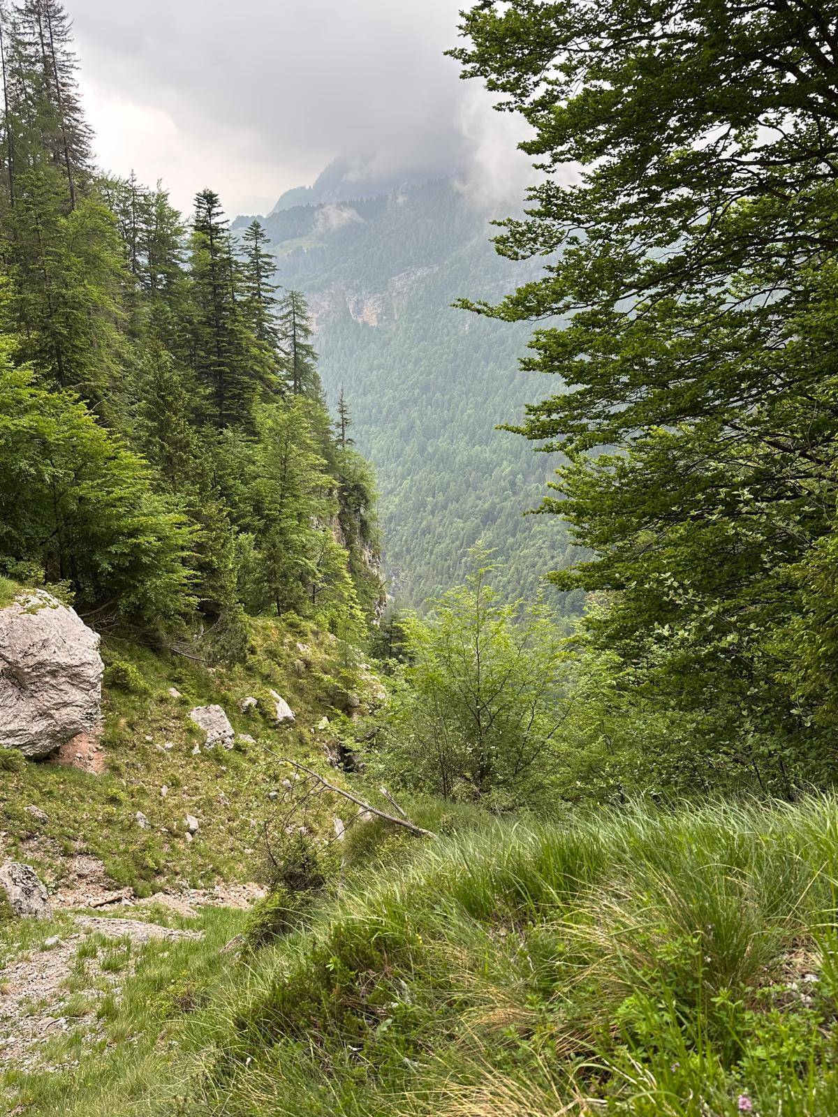 Full mountain day
On foot all the way
Decision helper
Start from the thing you care about most
The actual ridge section is around 1 km long and can be comfortably completed in about one hour, including scenic stops.
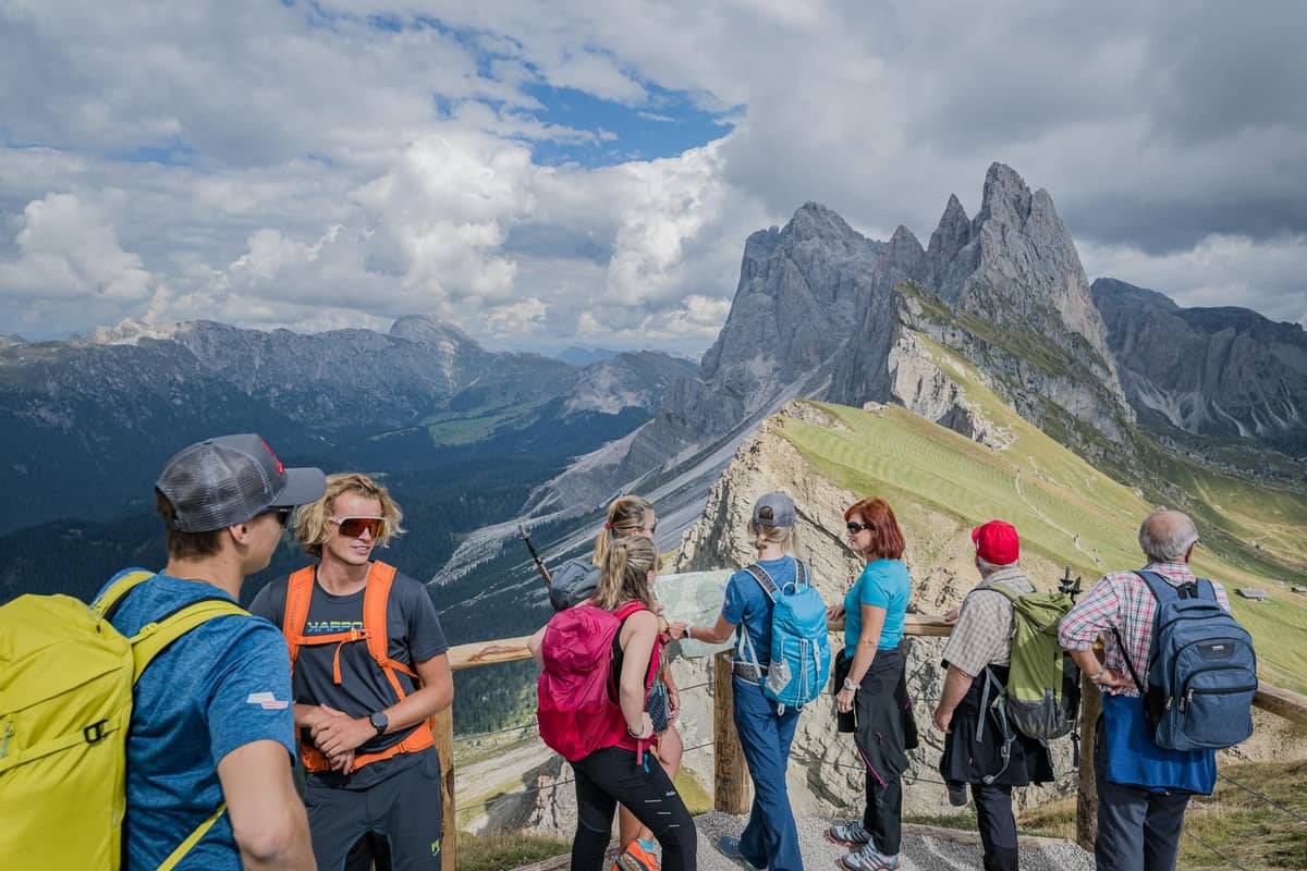
From the top station the Ridge Line trail climbs to the summit cross at 2,519 m and then follows the crest towards the Panascharte saddle.15 The crest section is about 1 km long and takes about an hour with photo stops, so it is a short walk, not a day out on its own.5 The lift company suggests taking the highest trail first, so that you reach the famous Seceda ridgeline viewpoint while you still have fresh legs and space around you.35
Expect the classic view on your left as you walk east: the grass drops away, and across the gap the Odle towers stand in a row like teeth. The north side drops away sheer, so keep children close and stay on the path rather than stepping out for a photo. The ground is grassy and stony, easy underfoot in dry weather and slick after rain, which is reason enough to wear real hiking shoes even for an hour.
Beyond the summit cross, on trail no. 6 going east, there is now a paid turnstile at $6 that lets you continue towards the Panascharte saddle, though the saddle itself is closed.36 You do not need it for the view. If you want to keep walking into the nature park or down to the Mastlé pastures, take trail no. 1 instead, which runs a little below the crest.37
Map
The Seceda crest up close, the villages and lifts of Val Gardena, the refuge path from Molveno into the Brenta, then the airports and stations you arrive at.
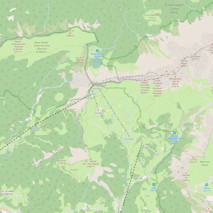 1Seceda summit2Furnes3Pieralongia4Fermeda hut5Col Raiser6Forcella de Mesdì
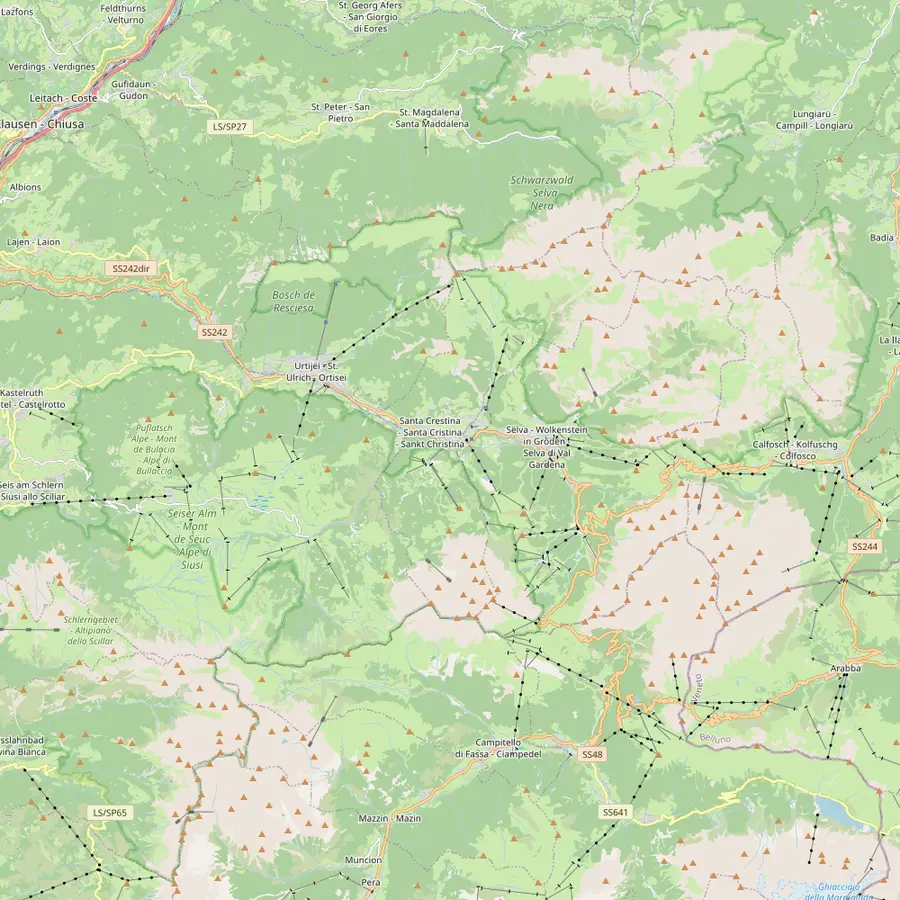 7Ortisei8Santa Cristina9Selva10Resciesa11Sassolungo12Compatsch13Puez hut14Passo Sella
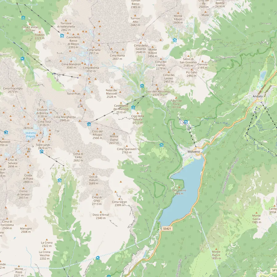 15Molveno16Pradel17La Montanara18Croz dell'Altissimo19Selvata20Tosa and Pedrotti21Lake Molveno
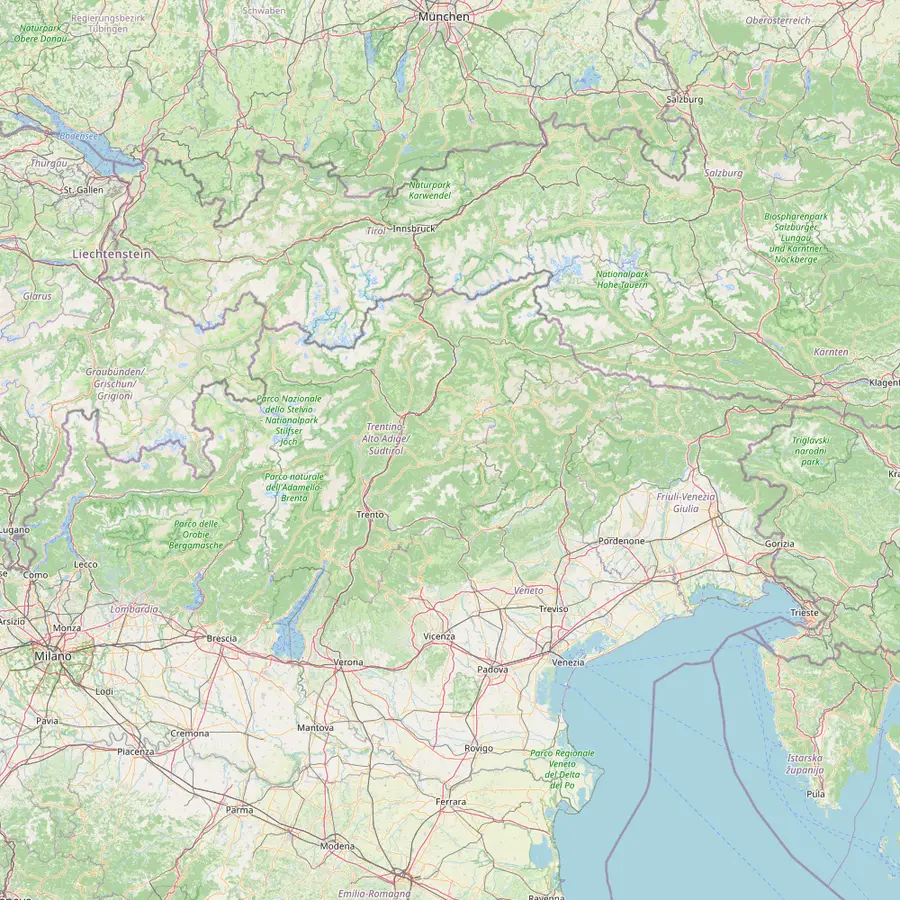 22Venice airport23Verona airport24Trento25Bolzano26Ponte Gardena27Innsbruck airport
The summit cross at 2,519 m, reached on the Ridge Line trail from the top station.115
In Google Maps ↗Middle station between Ortisei and Seceda: a 2,500 m gondola below, a 2,050 m cable car above.14
In Google Maps ↗Hut at the foot of the stone teeth, about 45 minutes on foot from the Seceda top station.16
In Google Maps ↗On the Trojer loop, near the Fermeda chairlift, which runs 20 June to 20 September in 2026.3817
In Google Maps ↗Gondola top station at 2,106 m above Santa Cristina; 1 to 2 hours on foot to the top of Seceda.2528
In Google Maps ↗Steep pass at 2,597 m on the long traverse from Resciesa.27
In Google Maps ↗Village at 1,236 m and start of the Seceda cable cars and the Alpe di Siusi gondola.2439
In Google Maps ↗Village at 1,428 m with the Col Raiser gondola.40
In Google Maps ↗Highest village of the valley, with the Dantercëpies gondola towards the Puez plateau.41
In Google Maps ↗Funicular top station above Ortisei at 2,103 m; easy walks along the ridge.2742
In Google Maps ↗The circuit round the group takes 5.5 hours, about 3 with the lifts.4344
In Google Maps ↗Top of the Seiser Alm cableway from Seis, a 15-minute ride.45
In Google Maps ↗Refuge at 2,475 m on the Puez plateau.46
In Google Maps ↗End point of the Stone City section of the Sassolungo circuit.47
In Google Maps ↗Lake village and start of the cable car to Pradel.48
In Google Maps ↗Lift terrace at 1,350 m above the lake and start of the refuge paths.4849
In Google Maps ↗Family-run refuge on the Pradel plateau, open daily from late May.50
In Google Maps ↗Refuge at 1,435 m below a 900 m rock wall, 1 hour from Pradel on path 340.515253
In Google Maps ↗Refuge at 1,630 m, open 1 June to 20 September.5455
In Google Maps ↗Huts at 2,449 m close to the Bocca di Brenta, open mid-June to late September.56
In Google Maps ↗Placed first among lake destinations in the 2026 Legambiente and Touring Club guide.57
In Google Maps ↗About 270 km from Val Gardena.58
In Google Maps ↗About 190 km from Val Gardena, with an AltoAdigeBus link.5960
In Google Maps ↗Main station for Molveno; the Paganella bus runs every 30 minutes.6162
In Google Maps ↗Station 40 km from Val Gardena; bus 350 runs up the valley.63
In Google Maps ↗The closest station to Val Gardena, 18 km away.63
In Google Maps ↗About 120 km from Val Gardena.59
In Google Maps ↗Checklist
Video
The video starts loading once you tap play.
Most people only ride up, walk the crest and ride down. With a little more time, the lift company describes an easy loop that links the summit area with the Pieralongia meadows: from the top station at 2,500 m over Pieralongia at 2,290 m to the Odles hut at 2,100 m, about 5.8 km in 1.5 hours.266 It is downhill most of the way, which is why it suits mixed groups.
After about 45 minutes you reach the Pieralongia hut at the foot of two rock towers known as the stone teeth, then the trail passes the World Heritage Terrace at 2,200 m.1664 From the Odles hut the path drops to the Fermeda chairlift, which brings you back up near the top station. Remember the chairlift runs a shorter season, 20 June to 20 September in 2026, and costs extra: $46 return for an adult.1765
The shorter option is the Trojer loop: Seceda at 2,500 m, Trojer at 2,250 m and the Fermeda area at 2,109 m, about 4.2 km and an hour of walking.3866 Both loops pass family-run huts; in the Seceda and Col Raiser area alone there are 18 huts and mountain restaurants, which makes lunch easy.34 Outside the main season some huts may be shut, so carry water and food anyway.67
From Santa Cristina, the Col Raiser gondola climbs to 2,106 m and runs from 22 May to 1 November in 2026.2517 From its top station, allow 1 to 2 hours on foot and about 500 m of climb to the highest point of Seceda.28 Val Gardena tourism recommends this route for a moderate hike, and it has the advantage of leaving the busy Ortisei lift queue to other people.68
On foot from the valley floor the numbers grow fast. From Ortisei it is 1,200 m of climb and about 3.5 to 4.5 hours depending on the route.32 From Cristauta above Santa Cristina, reached by bus line 358, allow 3 to 4 hours and 900 to 1,000 m.3031 From Daunëi above Selva the climb is 800 to 900 m and takes about 2.5 to 3.5 hours.29 These are real mountain days; ride down at the end if your knees prefer.
For experienced walkers there is a harder approach from Resciesa: via the Brogles hut and the Forcella de Mesdì at 2,597 m to the top, 6 to 7 hours in total.2769 Val Gardena tourism calls that pass one of the most demanding in the Dolomites, so treat it as a serious route with steep scree and keep it for settled weather.33 Bikes have their own routes; some trail sections in the nature park are for hikers only.70
A few rules are firm. Wild camping and overnight stays in tents are strictly prohibited, and flying drones on Seceda is not permitted.7172 Stay on the marked trails, take your rubbish home and do not walk across the meadows.73 Wear hiking boots with good grip and carry food and a layer for a change in the weather.74 In an emergency the number is 112.75
Val Gardena tourism names summer as the best season for hiking here.76 The lifts open in late May, and the valley station records in Selva di Val Gardena show why June is still cool: the average high is 18°C there in June and 20.2°C in July, and the summit is far colder than the valley.77 By September the high drops to 14.6°C, with fewer rainy days than in high summer.77
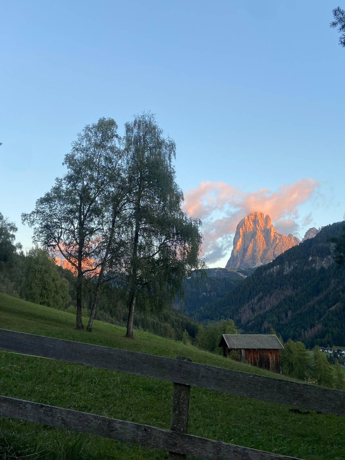
Timing within the day matters as much as the month. The first slots are quieter, the light is cleaner and you have the afternoon in reserve if clouds build. Late in the day the low sun brings out the colors on the Odle, which is the scene the old legend of King Laurin describes: his rose garden blooming at sunrise and sunset in a pink and orange glow.78 Just check the last ride down before you linger.
You do not need a guide for the crest, but a guided day can change what you see. A private Seceda hike listed on GetYourGuide starts and ends at the Seceda cableway and visits the ridgeline, Pieralongia and Lech Sant over 6 hours, from $508 for the private group. It is rated medium to challenging and is tailored to your pace, with guides in Italian, German and English.
It has no reviews yet, so judge it on what the listing states rather than on reputation. Free cancellation up to 24 hours before and reserve now, pay later mean you can hold a date while you watch the forecast. For a group of friends or a family, a private price split several ways can compare well with joining a larger group elsewhere.
If you would rather ride than walk, guided e-bike tours also head for Seceda: one from Ortisei of 5.5 hours from $208, one from Selva of 6 hours from $157. Neither has reviews yet, and the Ortisei tour asks for moderate mountain biking experience. Whatever you book, the lift tickets above are your own cost unless a listing says otherwise.
Your Brenta day
Pick a date, meet at the ticket office, and cancel free if the forecast turns.
2,519 m at the summit cross. The Ridge Line trail climbs from the top station to that cross and continues east along the crest.115
22 May to 2 November. Both sections from Ortisei run 8:30 am to 5:00 pm in that period; outside it the summer season is over.2
$83 for an adult. One way costs $55; juniors 8 to 15.99 pay less and children under 8 ride free with an adult.318
No. The lift company says the Dolomiti SuperSummer card is not accepted on Ortisei-Furnes, Furnes-Seceda or Fermeda.20
About 1 km, around an hour. That includes stops for photos, which is why most people add a loop or a hut lunch.5
It charges $6 towards the saddle. Beyond the summit cross the turnstile opens the way towards Panascharte; trail no. 1 below avoids it.3637
Sources
Keep reading