 Short and spectacular
Seceda crest
Lift from Ortisei
- Walking
- About 1 hour
- Climb
- Almost none
- Good for
- First day, any group
Guides
Language
EnglishCurrency
US dollar · $GetYourGuide uses the currency you choose.
Guide · Best hikes
The best hikes in the Dolomites are not all long or hard. Here are walks for every kind of day in Val Gardena and the Brenta, with official times, lifts and the huts where you can stop for lunch.
Editorial team, hikingdolomitesitaly.comUpdated October 25, 20267 min read56 sources
The short list
The Dolomites are not one chain of peaks but nine separate mountain systems split by valleys, and together they cover 142,000 hectares of World Heritage land.7 That is the first thing to understand when you plan: the best walk depends on which valley you sleep in, because moving between groups takes time. This page covers two bases, Val Gardena in South Tyrol and Molveno in the Brenta group of Trentino, and the walks that start from them.
Every walk below follows marked Dolomites hiking trails and comes with the official walking time from the local tourism office or the lift company. Treat those times as moving time without long breaks. Add lunch at a hut, photo stops and the queue at the lift, and a route of a few hours easily fills most of a day. If you are new to mountain walking, pick a route rated easy for the first day and see how your legs and lungs feel at altitude.
Lifts change everything here. Many of the best walks start at a top station, so a hike that would mean 1,200 m of climbing from the valley becomes a gentle stroll along a crest.8 The flip side is that lifts have seasons. The Seceda cable cars, for example, run from 22 May to 2 November in 2026, and outside that window the same walks start in the valley.9
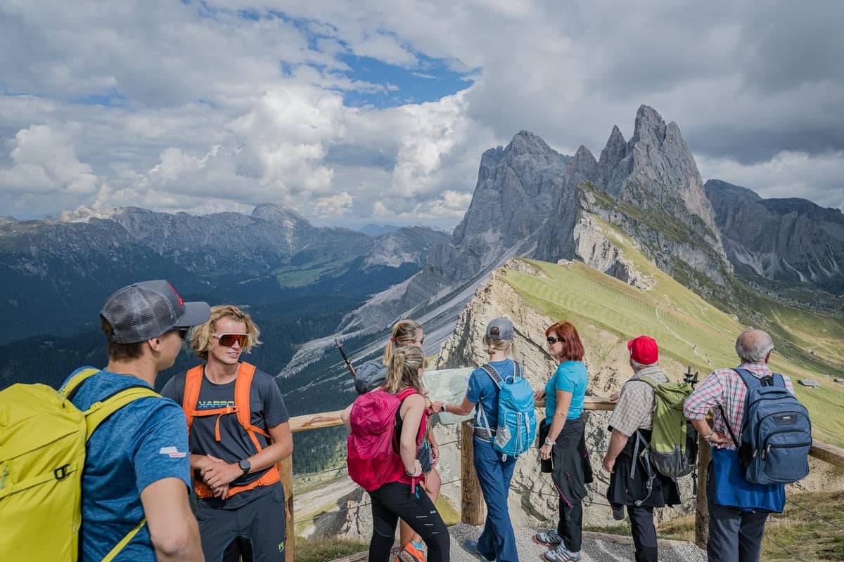
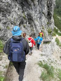
If you only have one day in Val Gardena, many people spend it on Seceda. Two cable cars lift you from Ortisei to a top station just below the summit cross at 2,519 m, and the famous crest walk from there is about 1 km long.101 On your left the grass ends in a sheer edge and the Odle towers stand across the gap. It is the view on half the posters in the valley, and in good light it lives up to them.
From the same top station the lift company describes an easy loop over Pieralongia to the Odles hut: about 5.8 km in 1.5 hours, starting at 2,500 m and finishing at 2,100 m.211 After about 45 minutes you pass the Pieralongia hut below the rock towers called the stone teeth.12 A shorter loop via Trojer covers 4.2 km in about an hour.13
Both loops make good easy hikes in the Dolomites for families, because they lose height rather than gain it and pass family-run huts. In the Seceda and Col Raiser area alone there are 18 huts and alpine restaurants.14 Lift fares, the turnstile on trail 6 and the longer ways up on foot all change the plan, so check them before you go.
Compare at a glance
| Walk | Start | Time | Grade |
|---|---|---|---|
| Seceda crest | Seceda top station | About 1 hr | Short1 |
| Pieralongia loop | Seceda top station | 1.5 hrs | Easy2 |
| Trojer loop | Seceda top station | 1 hr | Easy13 |
| Resciesa | Ortisei funicular | 2 to 3.5 hrs | Easy17 |
| Sëurasas & Pic | Col Raiser | 2.5 hrs | Not graded15 |
| Stevia loop | Selva | 4 hrs | Medium16 |
| Sassolungo circuit | S. Cristina or Selva | 5.5 hrs | Medium3 |
| Alpe di Siusi crossing | Ortisei | 5.5 hrs | Medium18 |
| Puez hut | Dantercëpies | 6 hrs | Long6 |
| Croz dell'Altissimo | Pradel, Molveno | 1 hr | T, easy5 |
Walking times without long breaks, as Val Gardena tourism, the Seceda lift company and Visit Trentino give them.135
Pick a kind of day
Short and spectacularLift from Ortisei
 The classic
From Santa Cristina or Selva
 Refuge lunches
From Pradel above Molveno
Decision helper
Pick the line that sounds most like you
It is one of the most beautiful, yet at the same time one of the most demanding mountain passes in the Dolomites
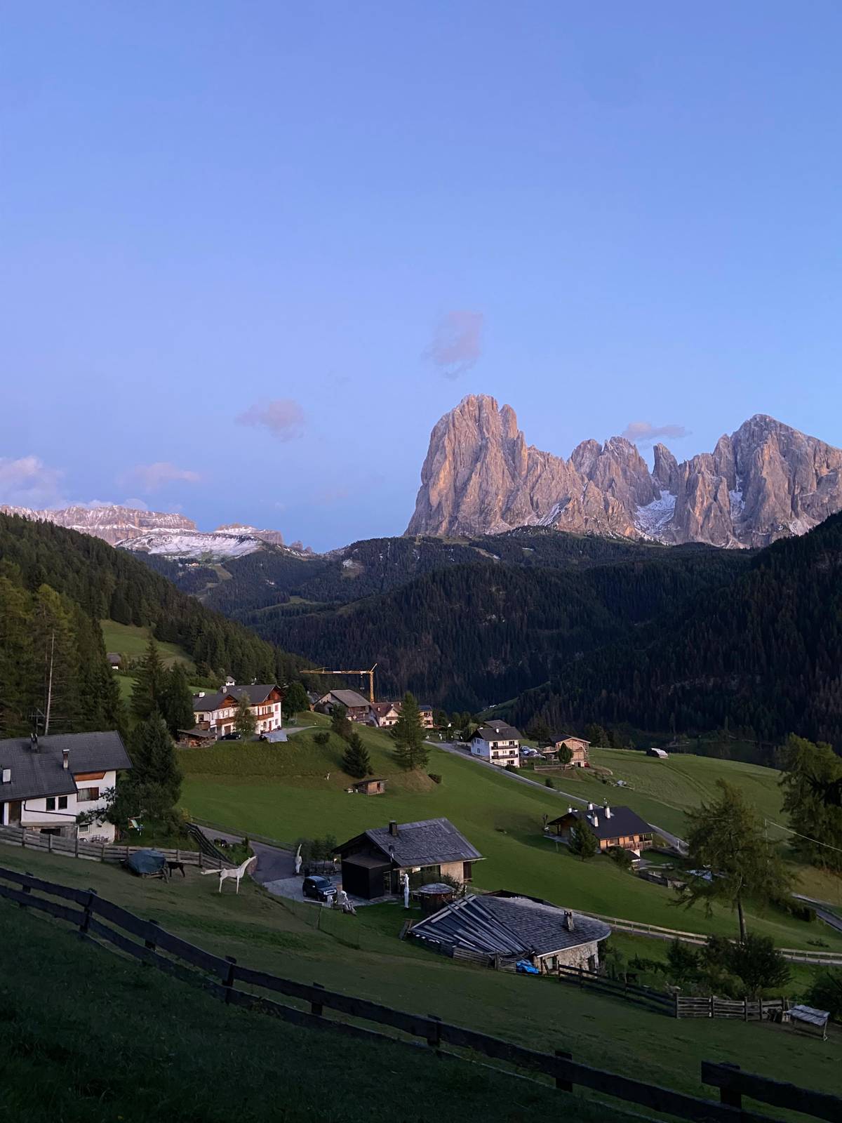
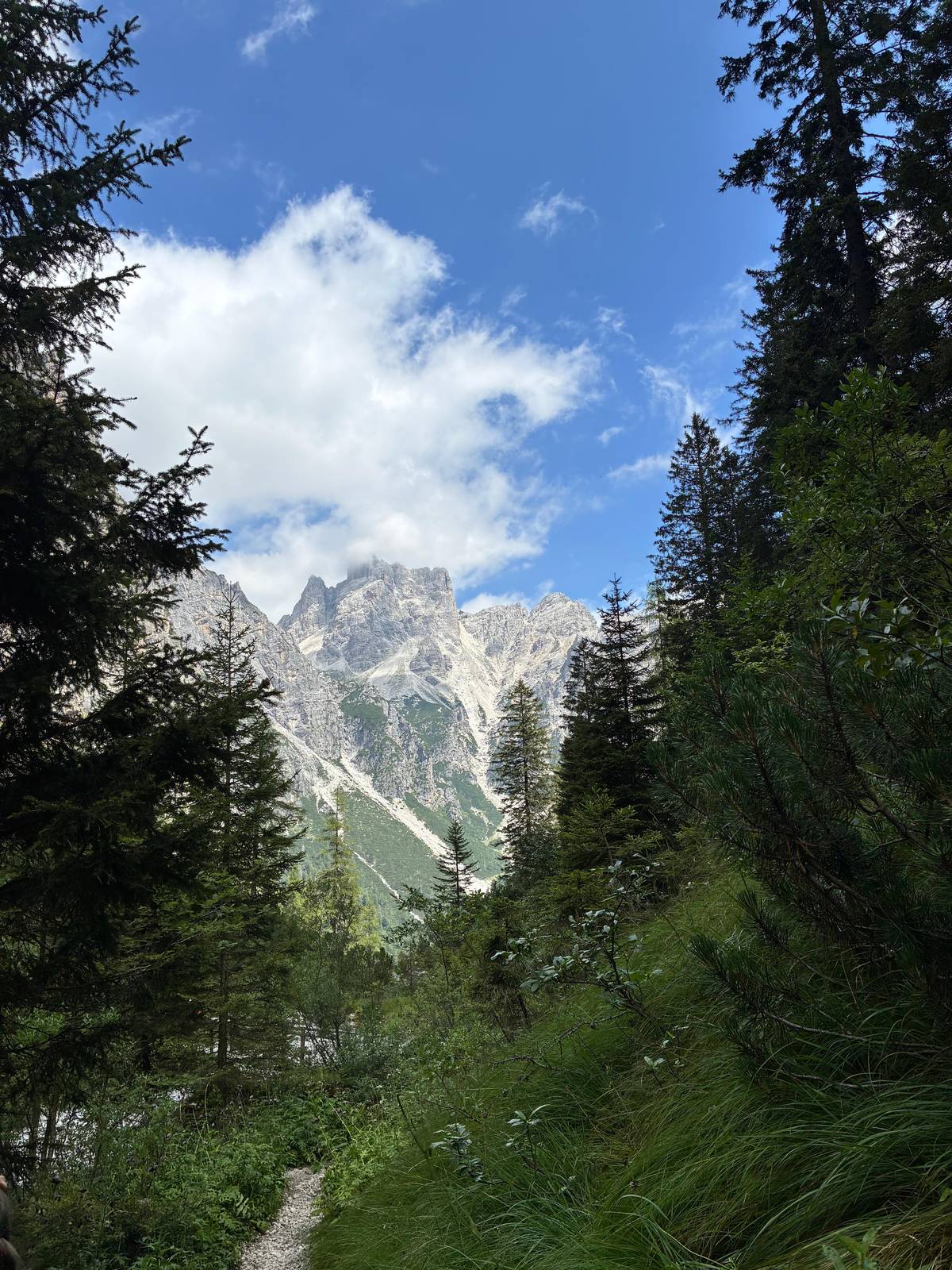
The Sassolungo is the block of rock that rises over the head of Val Gardena, and walking all the way round it is the valley's classic day. Val Gardena tourism starts it in Santa Cristina at 1,428 m or Selva at 1,564 m, rates it medium and gives 5.5 hours in total.3 With the lifts it shrinks to about 3 hours; without them it takes about 4 hours.4
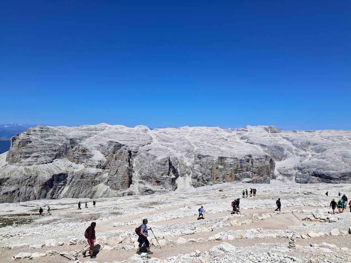
The highlight is the Stone City on trail 526, a field of huge fallen blocks that leads you to the Sella pass.20 It feels like walking through a ruined town, with paths winding between boulders the size of houses. Beyond the pass the route swings round the far side of the group, where the views open out over the Alpe di Siusi meadows.
The lifts that make the short version possible open later than Seceda's. In 2026 the Mont de Seura chairlift runs from 1 June and the Ciampinoi gondola from 6 June, both to 11 October.22 Plan this circuit for summer or early autumn, start early, and carry water: much of the way is open rock with little shade.
Map
The Seceda crest up close, the villages and lifts of Val Gardena, the refuge path from Molveno into the Brenta, then the airports and stations you arrive at.
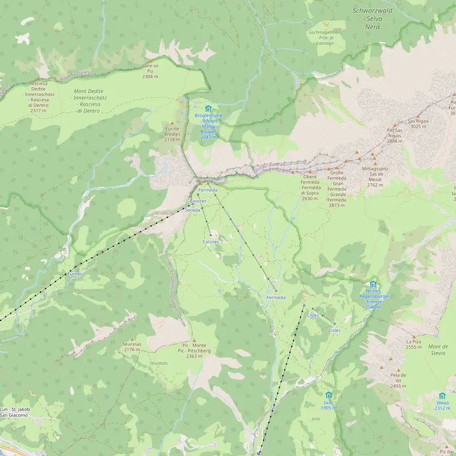 1Seceda summit2Furnes3Pieralongia4Fermeda hut5Col Raiser6Forcella de Mesdì
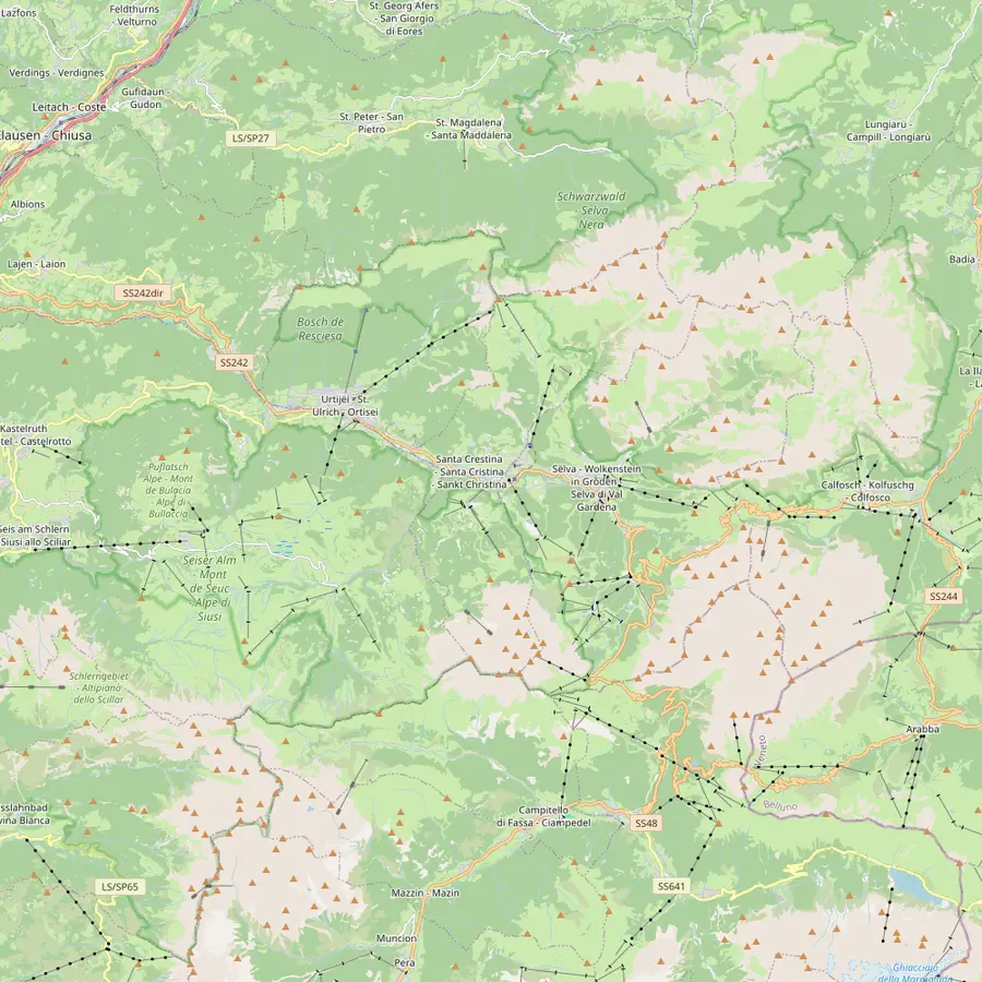 7Ortisei8Santa Cristina9Selva10Resciesa11Sassolungo12Compatsch13Puez hut14Passo Sella
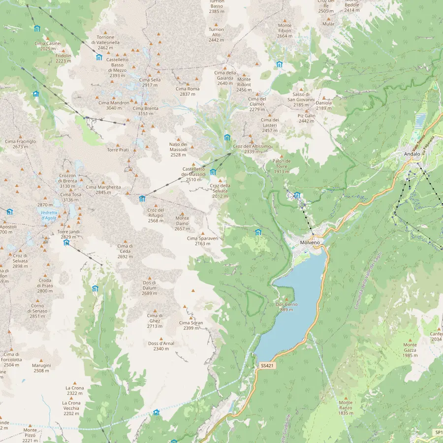 15Molveno16Pradel17La Montanara18Croz dell'Altissimo19Selvata20Tosa and Pedrotti21Lake Molveno
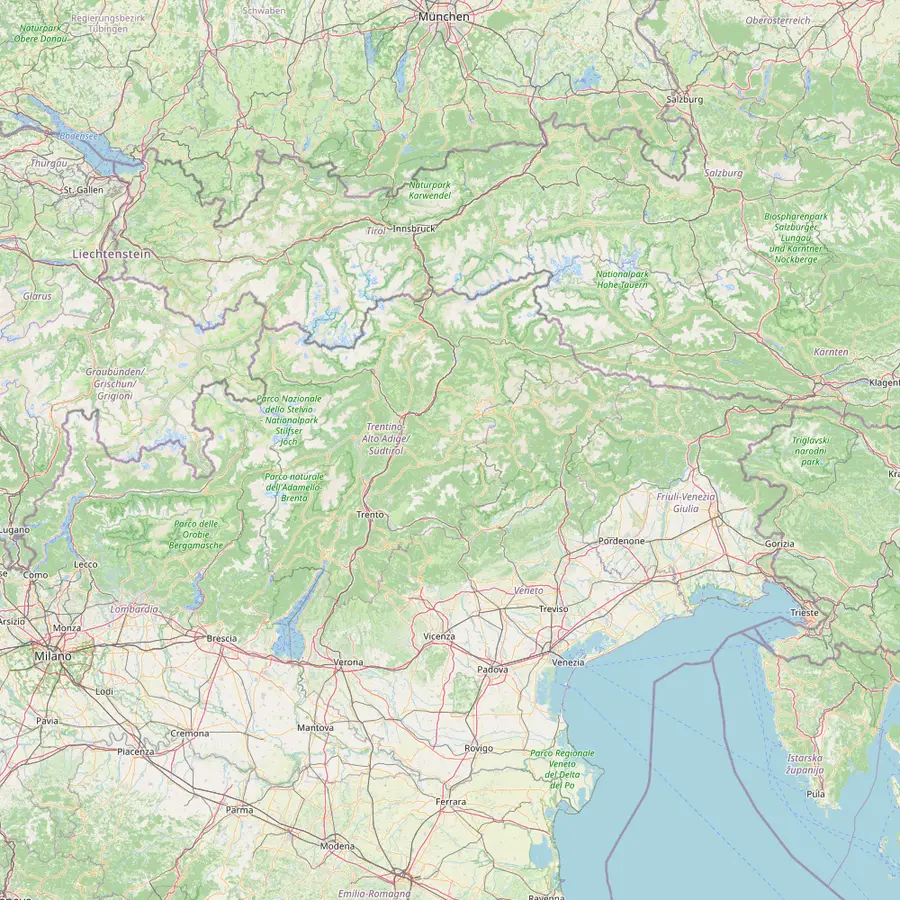 22Venice airport23Verona airport24Trento25Bolzano26Ponte Gardena27Innsbruck airport
The summit cross at 2,519 m, reached on the Ridge Line trail from the top station.1023
In Google Maps ↗Middle station between Ortisei and Seceda: a 2,500 m gondola below, a 2,050 m cable car above.24
In Google Maps ↗Hut at the foot of the stone teeth, about 45 minutes on foot from the Seceda top station.12
In Google Maps ↗On the Trojer loop, near the Fermeda chairlift, which runs 20 June to 20 September in 2026.2526
In Google Maps ↗Gondola top station at 2,106 m above Santa Cristina; 1 to 2 hours on foot to the top of Seceda.2728
In Google Maps ↗Steep pass at 2,597 m on the long traverse from Resciesa.29
In Google Maps ↗Village at 1,236 m and start of the Seceda cable cars and the Alpe di Siusi gondola.3031
In Google Maps ↗Village at 1,428 m with the Col Raiser gondola.15
In Google Maps ↗Highest village of the valley, with the Dantercëpies gondola towards the Puez plateau.6
In Google Maps ↗Funicular top station above Ortisei at 2,103 m; easy walks along the ridge.2917
In Google Maps ↗The circuit round the group takes 5.5 hours, about 3 with the lifts.34
In Google Maps ↗Top of the Seiser Alm cableway from Seis, a 15-minute ride.32
In Google Maps ↗Refuge at 2,475 m on the Puez plateau.33
In Google Maps ↗End point of the Stone City section of the Sassolungo circuit.20
In Google Maps ↗Lake village and start of the cable car to Pradel.34
In Google Maps ↗Lift terrace at 1,350 m above the lake and start of the refuge paths.3435
In Google Maps ↗Family-run refuge on the Pradel plateau, open daily from late May.36
In Google Maps ↗Refuge at 1,435 m below a 900 m rock wall, 1 hour from Pradel on path 340.37385
In Google Maps ↗Refuge at 1,630 m, open 1 June to 20 September.3940
In Google Maps ↗Huts at 2,449 m close to the Bocca di Brenta, open mid-June to late September.41
In Google Maps ↗Placed first among lake destinations in the 2026 Legambiente and Touring Club guide.42
In Google Maps ↗About 270 km from Val Gardena.43
In Google Maps ↗About 190 km from Val Gardena, with an AltoAdigeBus link.4445
In Google Maps ↗Main station for Molveno; the Paganella bus runs every 30 minutes.4647
In Google Maps ↗Station 40 km from Val Gardena; bus 350 runs up the valley.48
In Google Maps ↗The closest station to Val Gardena, 18 km away.48
In Google Maps ↗About 120 km from Val Gardena.44
In Google Maps ↗Checklist
Video
The video starts loading once you tap play.
For long, rolling walking with big views and little exposure, cross the Alpe di Siusi. The official route starts in Ortisei at 1,236 m, takes the gondola to the top station at 2,005 m and wanders across the high pasture by Tirler at 1,741 m; it is rated medium and takes 5.5 hours.3018 The plateau covers 56 square kilometers and is called the largest high alpine pasture in Europe.49
Closer to Ortisei, the Resciesa funicular gives one of the easiest good walks in the valley. Val Gardena tourism rates it easy: about 2 hours if you ride the funicular back down, 3.5 hours if you walk down.17 The path runs along a broad ridge with the Odle on one side and the valley on the other, and in 2026 the funicular runs from 16 May to 11 October.31
Resciesa is also the start of the hardest walk on this list, the traverse to Seceda over the Forcella de Mesdì at 2,597 m, 6 to 7 hours in all.2950 The tourism office calls that pass one of the most demanding in the Dolomites, so it belongs at the end of a holiday, not the start.21
The Puez plateau north of Selva is the place for a big, quiet day. From the Dantercëpies gondola at 2,298 m the route crosses the Cir pass to the Puez hut at 2,475 m, a 6-hour walk that the tourism office calls exhausting simply because of its length.6 The ground up there is stony and bare, a high plateau that feels nothing like the green meadows below.
Shorter but still rewarding is the Sëurasas walk from Santa Cristina. You ride the Col Raiser gondola, cross the Mastlé pastures on trail 2 and climb to the Pic at 2,363 m, about 2.5 hours of walking.15 The view down onto the villages of the valley is the reason to go.
From Selva you can also walk straight out of the village to Stevia, the local mountain on the sunny side. The loop over the Forcella Piza back to the valley takes 4 hours and is rated medium.16 It needs no lift at all, which makes it a good choice on the first or last day, when the lifts may still be closed.
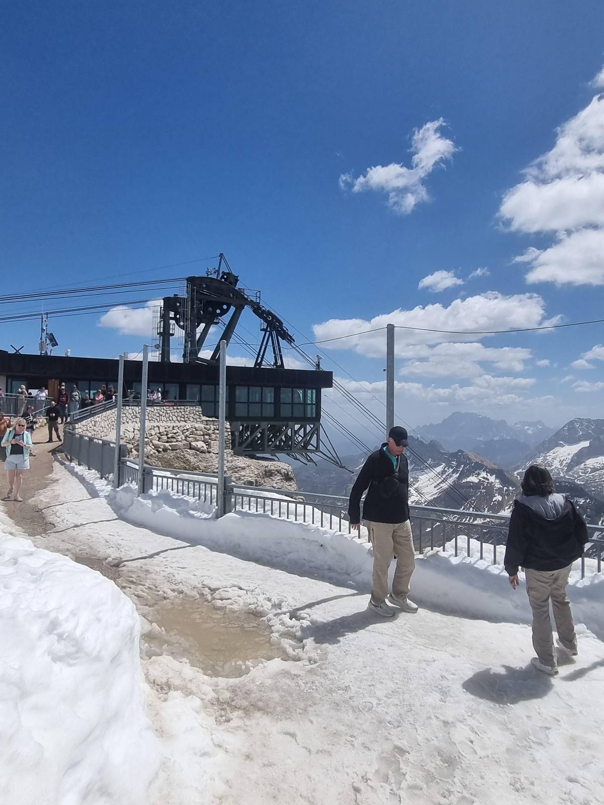
The Brenta group is the westernmost part of the Dolomites, a separate island of rock on the western edge of Trentino.51 Its peaks are carved into jagged spires, unlike the smoother lines elsewhere, and the walks from Molveno lead straight towards them.52 The cable car from the village climbs to the Pradel terrace at 1,350 m, the usual start.34
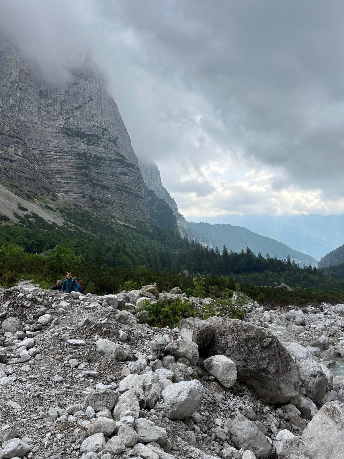
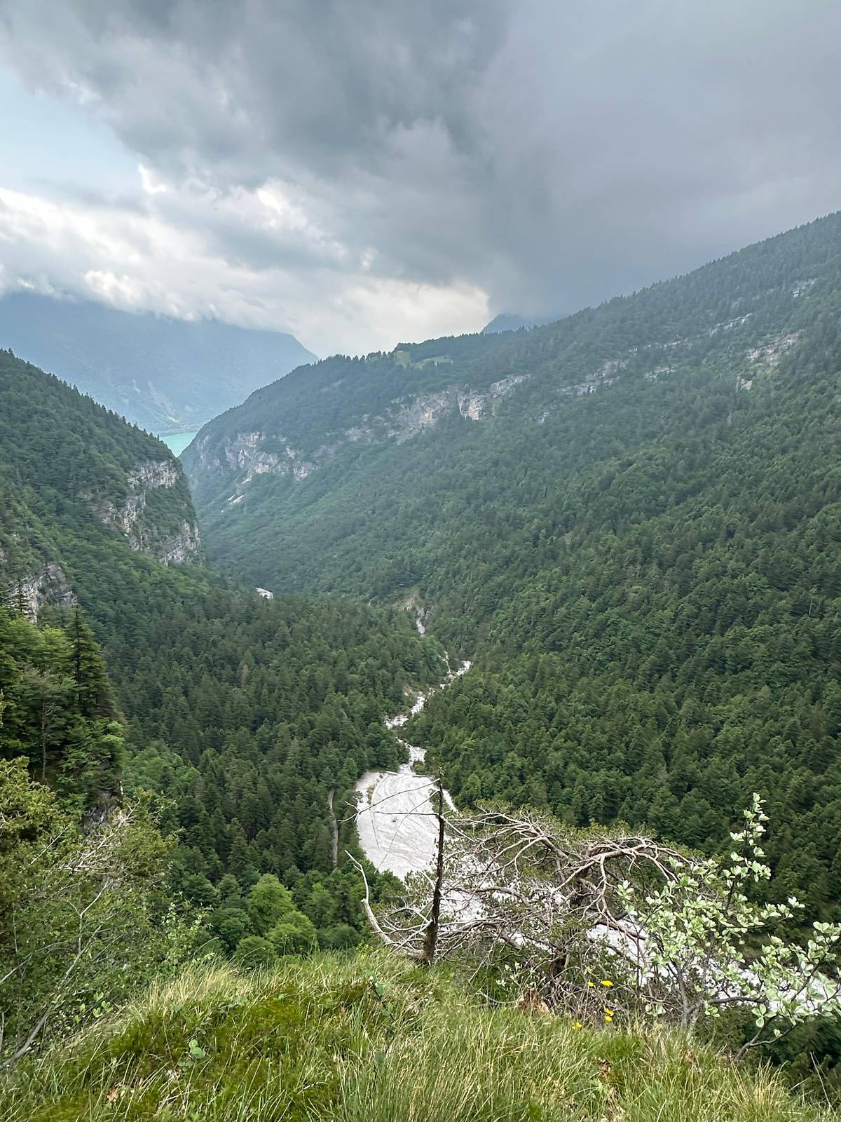
From Pradel, path 340 reaches the Croz dell'Altissimo refuge in about 1 hour, rated T, the easiest grade.5 The hut sits at 1,435 m below a rock wall of 900 m, one of the highest in the Brenta.3738 About 40 minutes on, across the valley, Rifugio Selvata stands at 1,630 m.1939 Beyond it the path climbs about 2.5 hours to the Tosa and Pedrotti huts and on to the Bocca di Brenta pass.53
This refuge chain is what our guided day from Molveno is built around: the listing names Pradel, La Montanara, Croz dell'Altissimo and Selvata, then the walk back down to Molveno, over 6.5 hours. It costs from $35 with a guide in Italian and English, and needs a moderate level of fitness. Each hut keeps its own season, so check the dates before you set out.
Other groups have famous walks of their own. The Tre Cime di Lavaredo loop belongs to the eastern Dolomites, a long way from both bases described here. From Lake Garda or Venice, guided day trips run into the range by coach or van, and are a way to see the scenery when you have no car and only one day.
Wherever you walk, the signs work the same way. Paths carry a number and a destination, and the route is marked with white and red paint, which you should follow rather than shortcuts.54 Always carry a map, paper or on your phone, and download the route so it works without signal.54 Trentino's mountain rescue puts it simply: if you get tired, unsure of the way or the weather turns, go back the way you came.55
The map below shows how the walks fit together. The Seceda panel shows the crest and its huts, the Val Gardena panel the villages and lifts, and the Brenta panel the refuge path from Molveno. Treat it as a Dolomites hiking map for planning, not for navigation: carry a proper walking map on the trail.
Your Brenta day
Pick a date, meet at the ticket office, and cancel free if the forecast turns.
The Resciesa ridge or a Seceda loop. Resciesa is rated easy at about 2 hours with the funicular; the Pieralongia loop is 5.8 km downhill from Seceda.172
About 5.5 hours in total. Using the lifts it takes about 3 hours; without them about 4.34
The Seceda crest. Ride up from Ortisei and walk about 1 km along the edge, roughly an hour with stops.1
Resciesa to Seceda over the Forcella de Mesdì. It takes 6 to 7 hours and crosses one of the most demanding passes in the Dolomites.5021
Yes, from Molveno. The cable car climbs to Pradel at 1,350 m, where path 340 starts towards the refuges.345
For Seceda, yes. The Seceda cable car runs on fixed 30-minute slots booked online.56
They show the marked route. Follow the numbered signs and the white and red trail marks, and carry a map.54
Sources
Keep reading